

Field Mapping Service Offers Novel System, Bigger Savings
 July 2, 2013
 Plant mapping is not a new concept. Growers have used plant maps for years – painting aerial or satellite images with bright colors designating areas of promise, areas of need and areas of out-and-out concern in individual fields.
In a precision ag world, they provide the foundation to help growers determine plans for variable rates of fertilization, herbicide applications, insect and disease treatments and nematode control. Put the right product where it will do the most good in each field.
Like most precision tools, plant mapping is continuing to evolve through enhanced techniques and new services designed to provide more – and timely – information for decision making. One of the newest concepts in mapping comes from a French-based company now in its second year serving U.S. markets.
GEOSYS, based in Toulouse, France, has brought more than 25 years of business success to the U.S. They describe themselves as an agronomic company, and as such, their business model is basic. But their service offerings are anything but.
Don Lamker, North American agronomy manager for GEOSYS, describes the company as a developer of decision support tools for agriculture, based on satellite imagery. The company provides its customers – primarily cooperatives, retail chains and consultants – access to a combination of historical and in-season satellite imagery to help determine what may have worked in the past in an individual field, as well as what’s needed in that field right now.

“Our web-based decision tool is called FarmSat,” said Lamker. “Any customer with a subscription can access this site from anywhere they are – as long as they have an internet connection – and be able to work with a grower on their fields.
“One of the things we make available to growers anywhere in North America is access to about 10 years of historical imagery to look at a field based on field borders provided by a grower,” he explained. “This imagery gives us a pretty good indicator of what the history of that field has been, based on where areas of variability within that field might be.
“Using the historical imagery, we can compare that variability on a year-to-year basis based on crop rotation, or, if it’s been in one crop, the variability that exists within that field.”
GEOSYS has access to a deep archive of historical imagery via LandSat, which has been in orbit since the mid-1980s.
“We can go back farther than that – very easily 20 years if needed,” pointed out Lamker.
A New Frontier
As a company, GEOSYS has been working with in-season imagery for many years, but is still relatively new in their North American operation. “Last year was our trial year, and the interest level was high,” said Lamker. “The challenge with in-season imagery is being able to get the image when we need it and is one of the reasons we make extensive use of historical imagery. It gives us the luxury of being able to go back and find the perfect timing. Yet, there are some things that in-season imagery can answer for us that historical imagery can’t.”
Rather than rely on government satellites for in-season imagery, GEOSYS contracts with several satellite providers for coverage of different areas of the U.S. This provides the company the flexibility to work with the providers to modify target dates and make seasonal adjustments as needed.
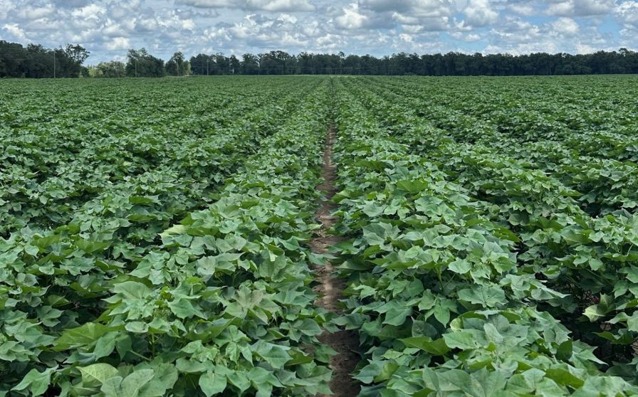
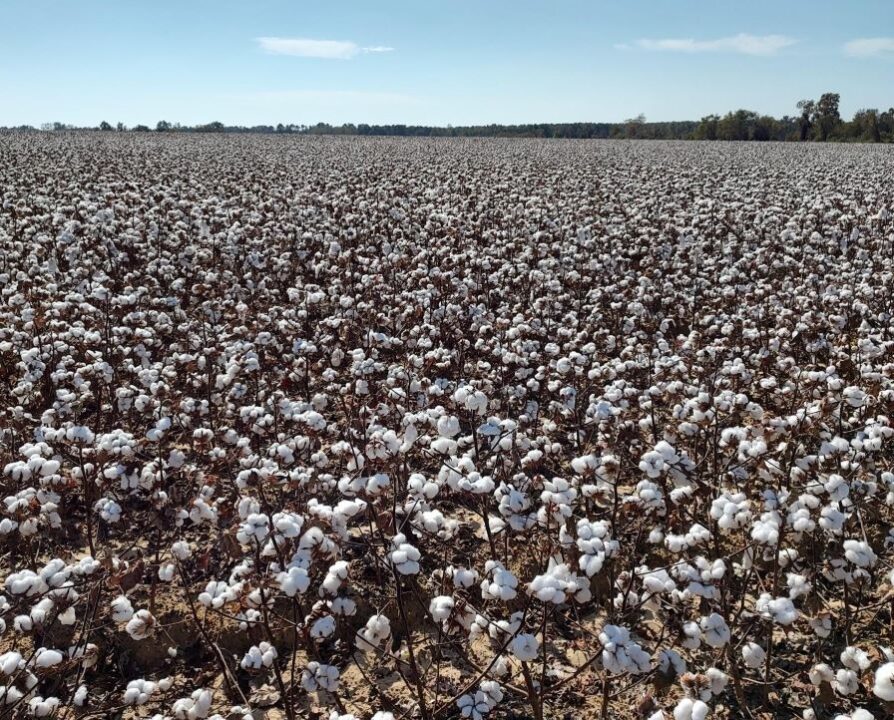
GEOSYS spent its first year of North American operations focusing primarily on Midwestern crops and customers. This year, the company is expanding into Southern markets and crops, especially cotton.
“From a historical standpoint, we can look at past years of a field that was in cotton and get an understanding of what kind of variability is in that field,” stated Lamker. “Once we understand that variability, we can quantify it to a certain degree and develop a game plan of how we might want to address it. It could be there’s just not that much variability in that field, and that we just manage the field like we always have. Quite frankly, that doesn’t happen that often.
“One of our differentiating factors is that the imagery allows us to preview a field ahead of time without investing a lot of time and money into data collection,” he added. “We can make decisions on whether or not a field is a good candidate for variable rate application or not.
According to Lamker, if variability is determined, they can review historical imagery to help develop fertility programs for an individual field, then utilize in-season imagery to help monitor the differences within the field and help manage any on-going problems before they impact yield.
“Biomass is also a key indicator to determining where potential disease problems may exist in a field,” continued Lamker. “The more biomass you have, the more disease problems you’re likely to have, so it’s likely that areas with lots of vegetative growth are areas that might need to be sprayed with a fungicide. Likewise, in-season imagery can also help determine appropriate timing and rate for growth regulator and defoliant application.”
Lamker realizes that other mapping services also utilize in-season imagery. But the GEOSYS program allows subscribers to preview available images before deciding to purchase them. Image rates vary depending upon the volume and the customer contract, but generally range from two-to-five dollars per acre per image.